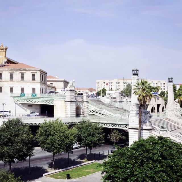
A neighborhood in the 12th borough
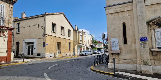
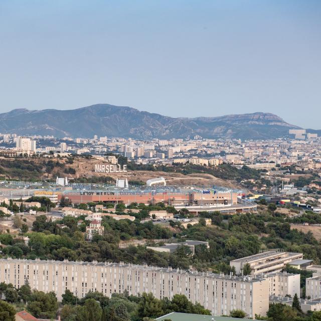
Located in the 12th arrondissement, Montolivet is perched on one of Marseille’s seven hills, between Saint-Just and Saint-Barnabé. La Blancarde, les Chartreux, Malpassé, les Olives, la Rose and Saint-Julien are also among the neighborhoods bordering Montolivet. Its main street over 2 kilometers long, Avenue de Montolivet, a former vicinal road, crosses the 4th and 12th boroughs of Marseille.
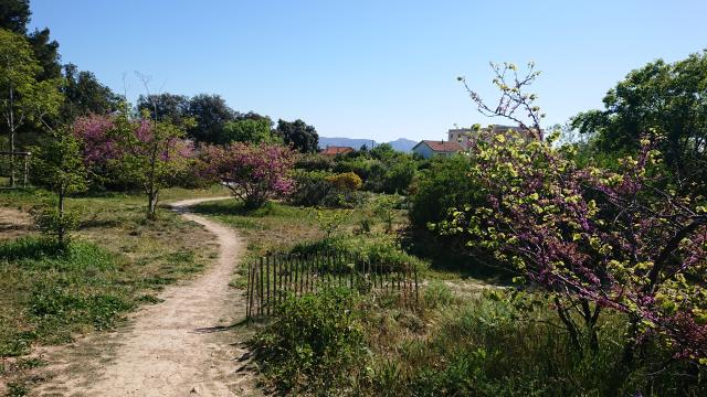
Montolivet owes its name to the multiple plantations of olive trees that covered the site, as far back as the Middle Ages if we are to believe the use of the word olivier to describe the place in question. These arid lands then gave the name Monteolivetus in 1248, followed by Mons Olivetus in 1289 before becoming Montolivet. This neighborhood sits atop a hillside, a fairly steeply sloping area.
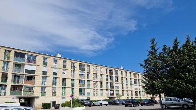
Not easily accessible, the farming village was originally home to dairies and porkeries. Its population evolved with the arrival of a tramway line in 1909. After the war, more and more dwellings sprang up, following one another as far as the little grove. Small villas with gardens are built on the Montolivet plateau, while predominantly Italian housing estates develop towards Saint-Julien.
In 1830, a parcel of land was given to Jean-François Demoye to build a chapel, transformed in 1862 into a parish by Monseigneur Cruice, under the vocation of Saint-Fortuné. At the expense of La Fabrique, the place of worship finally became a neo-Gothic church in 1877.
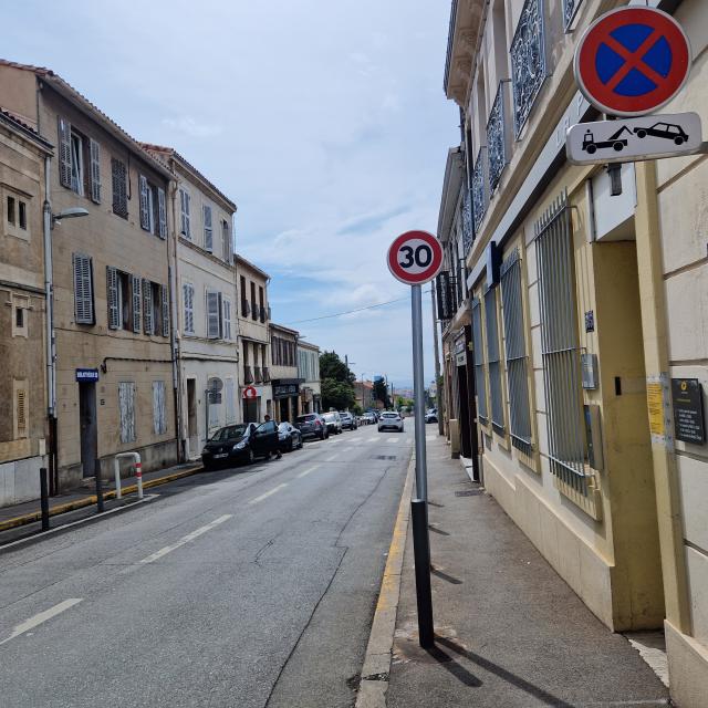 Montolivet - Neighborhood © WG OTLCM (1)