See photos (6)
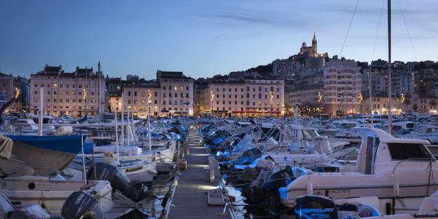
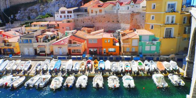
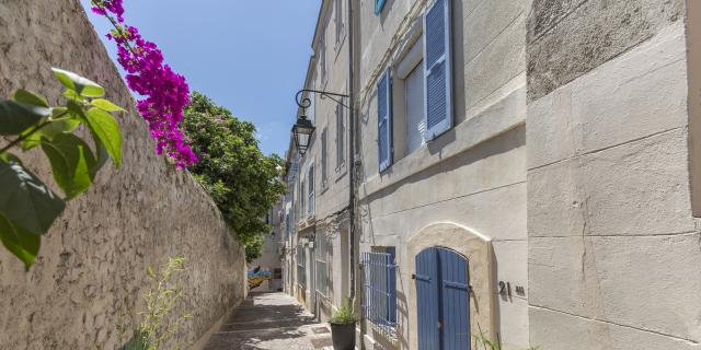
Grand Sentier de la Côte Bleue
Sport, Pedestrian sports, Hiking itinerary
in Ensuès-la-Redonne
65.3
km
Very difficult
-
A hiking itinerary on the Côte Bleue, between the green of the pine forests and the blue of the sea. Comprising 17 loops, this route will keep you busy for 3 or 4 days! Accessible from all Côte Bleue train stations.
- Departure
- Ensuès-la-Redonne
-
-
Difference in height
- 1121.68 m
-
-
-
Plain text period
- All year round.
-
-
-
Documentation
- GPX / KML files allow you to export the trail of your hike to your GPS (or other navigation tool)
-
- See all reviews
- 1122 meters of difference in height
-
- Maximum altitude : 226 m
- Total positive elevation : 1122 m
- Total negative elevation : -1114 m
- Max positive elevation : 197 m
- Min positive elevation : -203 m