
Histoire & Paysages
Sport, Pedestrian sports, Hiking itinerary
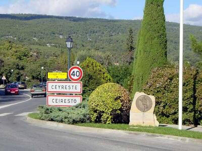
in Ceyreste
3.3
km
1h 15min
Easy
-
The itinerary takes you through a peaceful village that has managed to preserve its tranquillity and
peace and quiet. You'll wander through cool, picturesque alleyways, ending up in the unspoilt countryside that surrounds the village.
- Departure
- Ceyreste
-
-
Difference in height
- 53.6667 m
-
-
-
Plain text period
- All year round.
-
-
-
Documentation
- GPX / KML files allow you to export the trail of your hike to your GPS (or other navigation tool)
-
-
-
Accepted customers
-
- See all reviews
- 54 meters of difference in height
-
- Maximum altitude : 121 m
- Minimum altitude : 67 m
- Total positive elevation : 54 m
- Total negative elevation : -54 m
- Max positive elevation : 30 m
- Min positive elevation : -36 m
