Le Fort de Niolon
Sport, Pedestrian sports, Hiking itinerary
in Le Rove
4.0
km
-
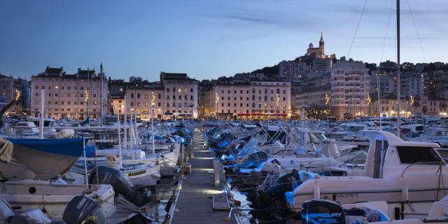
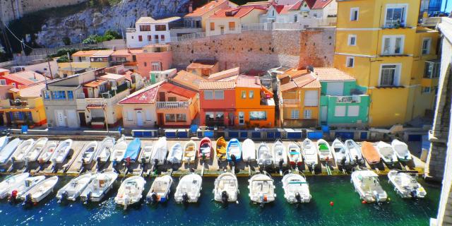
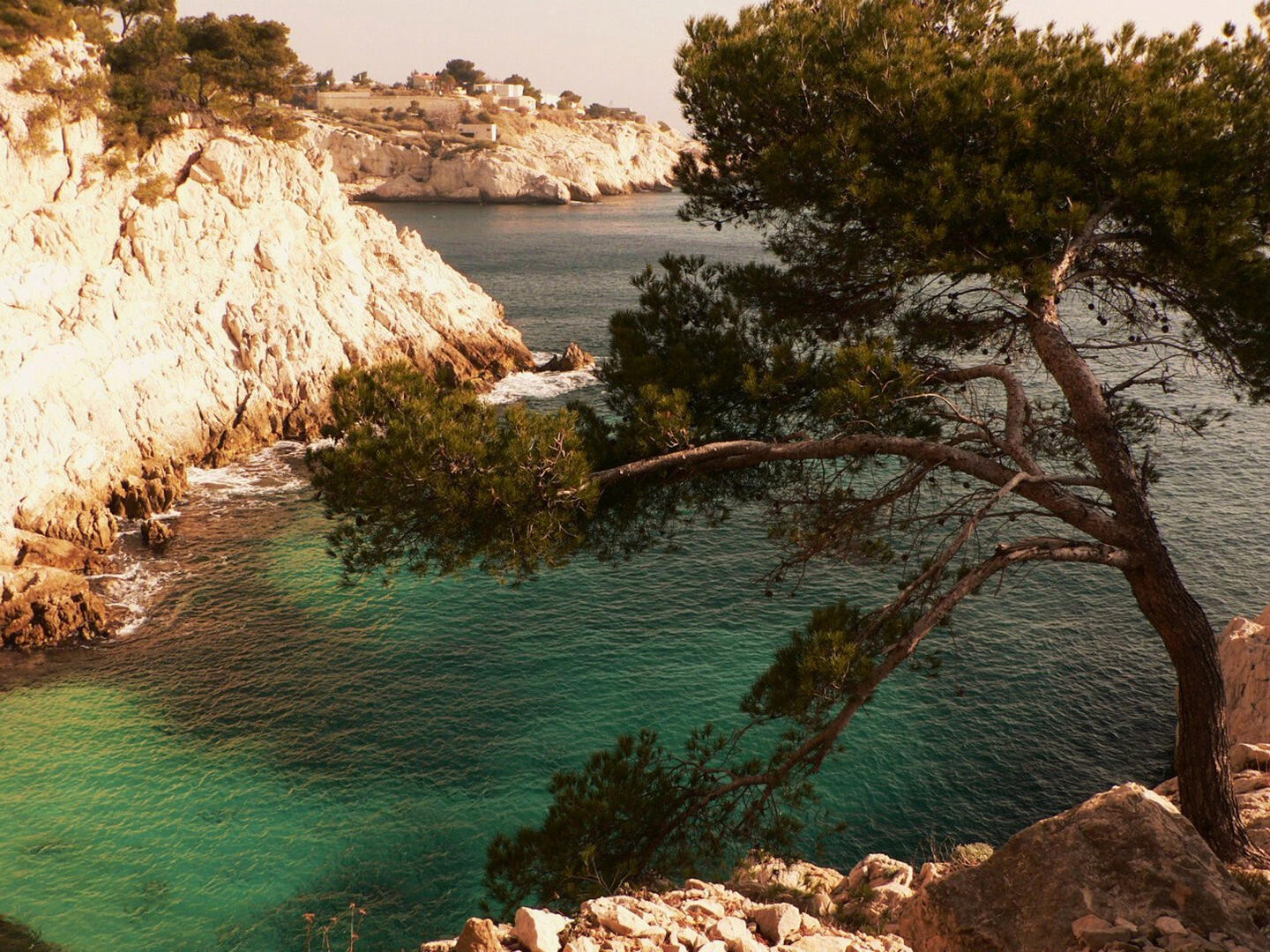
Local loop of the Côte Bleue, 6km from Niolon, with a panorama of the Frioul and the Rade de Marseille.
-
Hiking in the heart of the Regional Natural Park of Alpilles, Maussane-les-Alpilles initially. This loop goes borrows the outskirts of the village of les Baux-de-Provence and Paradou. In this country circuit, you will discover the cultures of olive trees classified in AOC, multiple channels for irrigation of fields, stone Bastide, a House Wren... It is also a circuit without technical difficulty, the route follows mainly the forest paths or roads. The route passes under the rocky outcrop of...
Hiking in the heart of the Regional Natural Park of Alpilles, Maussane-les-Alpilles initially. This loop goes borrows the outskirts of the village of les Baux-de-Provence and Paradou. In this country circuit, you will discover the cultures of olive trees classified in AOC, multiple channels for irrigation of fields, stone Bastide, a House Wren... It is also a circuit without technical difficulty, the route follows mainly the forest paths or roads. The route passes under the rocky outcrop of the leases which resembles a bow of boat closely as far it remains stunning. A little further away, the garrigue Unveils post-war Mas quite atypical décor of Provence, the 'baou trouca"rock holes. The trail ends by the crossing of old Maussane and passing through the centre of the village.
- Departure
- Le Rove
-
-
Difference in height
- 183.633 m
-
-
-
Plain text period
- All year round.
-
-
-
Documentation
- GPX / KML files allow you to export the trail of your hike to your GPS (or other navigation tool)
-
- See all reviews
- 184 meters of difference in height
-
- Maximum altitude : 202 m
- Minimum altitude : 14 m
- Total positive elevation : 184 m
- Total negative elevation : -184 m
- Max positive elevation : 176 m
- Min positive elevation : -74 m