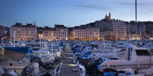
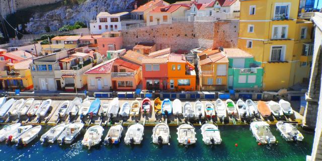
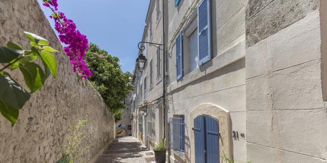
See photos (3)
Mer et Colline - Valestoué
Sport, Pedestrian sports, Hiking itinerary
in Sausset-les-Pins
10.7
km
3h 30min
Medium
-
Hike along the seafront, then through the reed beds and botanical path, climbing through the garrigue and along the pine forests to the top of the hill.
- Departure
- Sausset-les-Pins
-
-
Difference in height
- 155.798 m
-
-
-
Plain text period
- All year round.
-
-
-
Documentation
- GPX / KML files allow you to export the trail of your hike to your GPS (or other navigation tool)
-
- See all reviews
- 156 meters of difference in height
-
- Maximum altitude : 123 m
- Total positive elevation : 156 m
- Total negative elevation : -156 m
- Max positive elevation : 65 m
- Min positive elevation : -116 m